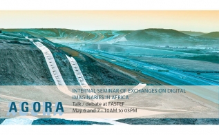
Description
The aim of this research cluster coordinated by Richard Rottenburg was to examine the co-production of technologies and spatial orders across Africa. It is part of the larger research program “Regions2050” coordinated by Achille Mbembe and focuses on two techno-scientific assemblages in the domains of health and environment, namely, datafication (or quantification) and remote sensing (satellite and drone imaging). While asserting that assemblages are seamless webs that do not overlap with countries, politically defined regions or even continents, the Cluster inquires into the ways in which these assemblages shape the forms and practices of evidence-making that impact governance and the production of space. In turn, the Cluster examines how technologies are shaped by their deployments and usages in particular sites.
In more depth, the Cluster studies how the assemblages of datafication and remote sensing re-define what health is, what environment is, and how the two may be related to each other. We seek to understand how these re-definitions shape governance at various scales, making it necessary to pay attention to the political economy of technical assemblages, the development of which brings to light the multiple relations between techno-science, political territories and spatial configurations.
To pursue its core investigation, the Cluster explores how these two assemblages foster forms of belonging and being in the world that partly reinforce and partly undermine the conventional belief that people are somehow naturally divided into nations and that such entities even have their own territories. We engage this belief by asking what imaginaries for a better future the two assemblages (and their related categorizations of people) are imbued with. Who is meant to belong to these better worlds? And how is this related to spatial configurations?
The Projects of the African Technoscapes Cluster
Vera Ehrenstein
Carbon metrics: Extractive science, sustainability indicators and environmental markets in the Central African forests (Gabon)
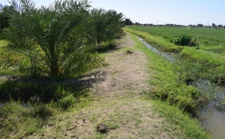
The climate crisis has turned forest carbon – the mass of carbon sequestered in the woody tissue of trees – into an object of both scientific and political interests. This project explores the transnational socio-technical assemblages that involve the forests of Gabon, and the carbon they store, in global knowledge production and environmental marketization. Remote sensing technologies are central to these processes, through which the central African forest is acquiring planetary significance.
Georges Eyenga
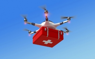
Drones, Digitization and Space in technopolitics of care in Cameroon and Ghana
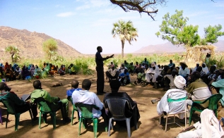
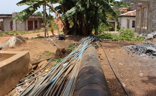
This project examines the introduction of drones as a new type of infrastructure for the delivery of health services in two African countries and how this impacts the making of space. The study focusses on the creation of new assemblages composed of drone and GPS technologies, legal regulations, economic interests, underlying infrastructures, people, and imaginaries of better health services. Two companies, one in Cameroon and one in Ghana, have agreed to cooperate in this investigation.
Siri Lamoureaux
Seeing like a satellite: remote sensing, environment capture and (de)territorialization in Sudan
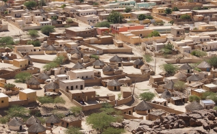
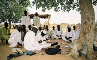
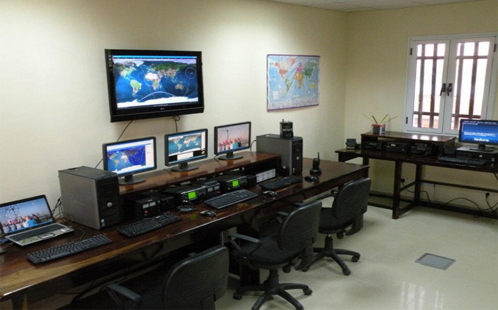
This research project examines the technopolitics of Sudan’s recently launched remote-sensing satellite. It asks how such geospatial practices are shaping understandings of desertification in the Sahel, and conversely, how local understandings of territoriality, climate and environment are inscribed in Sudan’s burgeoning space industry. It is linked with Meredith Root-Bernstein’s project.
Johannes Machinya
Digitalised remittance flows: enhancing healthcare access, utilisation and expenditure among migrant-sending households in Zimbabwe
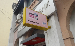
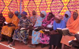
This study explores how digital technologies have revolutionized the channels of remittance flows and the nature of remittances. It focusses on the creation of digital platforms as ‘transnational medical spaces’ that span the territorial boundaries of South Africa and Zimbabwe. The project conceives these platforms as unfolding socio-technical assemblages geared towards health-care and composed of human practices across the borders, the affordances of digital technology, medical products and services, regulatory frameworks and the meanings emerging within this space.
James Merron
Drone Stories in Southern African Border Regions: Shifting Down
Aerial photography and satellite imagery of Namaqualand affect arrangements on the ground. Remote sensing of the Orange River impacts the management of land, water, minerals, and the border between South Africa and Namibia. This project examines the technoscientific practices through which spatial knowledge is produced and constituted as evidence.
Samuel Ntewusu
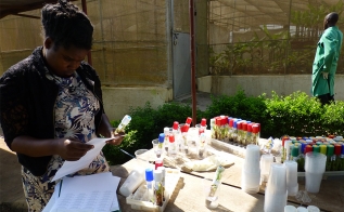
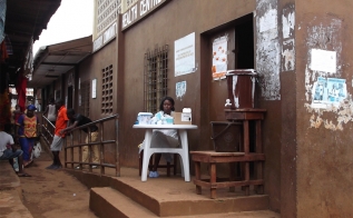
Health Registers in the Gold Coast, Ghana (1920-1956)
During the colonial period, migrants from other regions within Ghana and from neighboring countries were mostly categorized as people who bring diseases to local communities. This specific understanding of communicable diseases stood behind the introduction of various technologies to control the movement of people into and out of particular areas within Ghana and to collect data on these movements. This historical project examines the understandings of public health that stood behind the health cards and registers and the ways they were used. The project uses the documents as a lens to analyze social, political and economic changes and issues of citizenship at the time. Using archival sources, the research provides historical background and compliments Alena Thiel’s research by also examining the changes that have taken place after 1956 in state registration systems related to health and citizenship and thus to mobility and territory.
Meredith Root-Bernstein
Making ecological states through datafication: Sudan and the global discourse of degradation
This collaboration with Siri Lamoureaux’s project on Sudan’s satellite asks how satellite and other remote sensing data are used in Sudan to construct the problem of degradation. I argue that degradation is a socio-economic condition that has been “ecologized” and reified as an ecological state. We ask how the datafication of degradation as ecology affects the experience and materialities of socio-environmental problems.
Alena Thiel
Data-Driven Governance and Spatial Analyses of Development in Ghana
The project explores how population registers are being generated by creating interoperability between previously isolated geospatial, administrative and transactional registers. It inquires into how this process shapes spatial configurations and vice-versa, how the latter impact the shaping of the population register. Particular focus will be paid to administrative records in the Ghanaian health sector. In dialogue with the sub-project of Samuel Ntewusu, historical and present forms of health registers in Ghana will be explored with regard to how they contribute to the making of new spatial orders.
Key publication
Team members

Richard Rottenburg
Professor at WiSER
Siri Lamoureaux
Assistant Professor at the University of Siegen

Alena Thiel
Project Lead at the University of Halle
Related
Vaccine Inequity (completed project)
Uli Beisel, Richard RottenburgThis project interrogates how fair access can be built into the design of vaccines and critically...
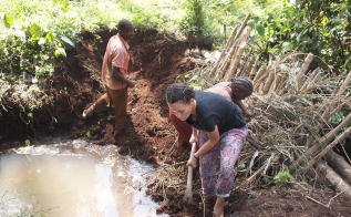
Water contexts of Freetown (completed project)
Lorenz GoschThis project engages with the social life of water in Freetown, Sierra Leone.
The haunting of colonialism (completed project)
Fazil MoradiThis study examines the future inscribed into the restitution of artworks originating from the Ki...